Since the city of Knoxville cut the ribbon on the Fort Dickerson Gateway Park on May 3, 2017, much of the focus on the park has been on the improved access to both the main entrance at 3096 Fort Dickerson Road and the Augusta entrance at 530 Augusta Ave., which provides easy access to the Fort Dickerson Quarry, a popular swimming destination.
But what is this Fort? And who’s Dickerson, anyway?

One of the historical markers at Fort Dickerson (File photo by Betsy Pickle)
For the most part, only Civil War history buffs can answer those questions. But as the park grows more popular with hikers, cyclists and picnickers, others are getting in touch with Fort Dickerson’s history as well.
By midway through the Civil War, Knoxville was a Union stronghold boasting 16 forts and battery emplacements designed by Capt. Orlando M. Poe, according to tnvacation.com. Three of the forts – Dickerson, Higley and Stanley – were constructed in South Knoxville overlooking the Holston (now Tennessee) River.
In November 1863, while Union Gen. Ambrose Burnside blocked the approach of Confederate infantry under Gen. James Longstreet from the north, Gen. Joseph Wheeler led 4,000 Confederate cavalry through Blount County to attempt to take control of the South Knoxville fortifications.

A replica cannon at Fort Dickerson (Photo from Visit Knoxville)
Gen. William P. Sanders thwarted Wheeler’s efforts and gave the federals enough time to complete the then-unnamed Fort Dickerson.
The steepness of the terrain and strength of the Union forces proved too much for the Confederates, and after two attacks they gave up and rejoined Longstreet. The fort was named for its first commander, Capt. Jonathan C. Dickerson, Company B, 112th Infantry, of the Illinois Volunteers.
In “Rotary Club of Knoxville: 100 Years of Rotary,” Steve Cotham writes that by 1950, the fort’s 30-acre site was overgrown with weeds and barely remembered. The Rotary Club of Knoxville’s Parks and Playgrounds Committee decided to turn the site into a park, and the club spent $2,500 on surveys and acquiring additional land to allow access from Chapman Highway.
The city, under Mayor Jack Dance, blacktopped the access road. Osborne Hazen Graves, Tennessee Valley Authority landscape architect, and Charles Barber, Knoxville architect, planned the site. The South Knoxville Rotary Club, organized in 1951, joined the downtown club on the project for the next 10 years.
The 1961 Centennial of the Civil War renewed interest in the park, with the Civil War Centennial Commission erecting historical markers to describe the Civil War actions that took place there. The city eventually took over ownership of the park – which for several years had a seedy reputation as a mecca for sexual encounters and drug use – and started a series of major improvements about five years ago with major support from the Aslan Foundation.
The park now consists of more than 91 acres, with some of the city’s best preserved earthworks along with three replica cannons, scenic views from the Harold Lambert Overlook, open space, four miles of unpaved trails, the Fort Dickerson Greenway, two shelters, picnic tables and the 350-foot-deep quarry lake.
Betsy Pickle is a freelance writer and editor who particularly enjoys spotlighting South Knoxville.

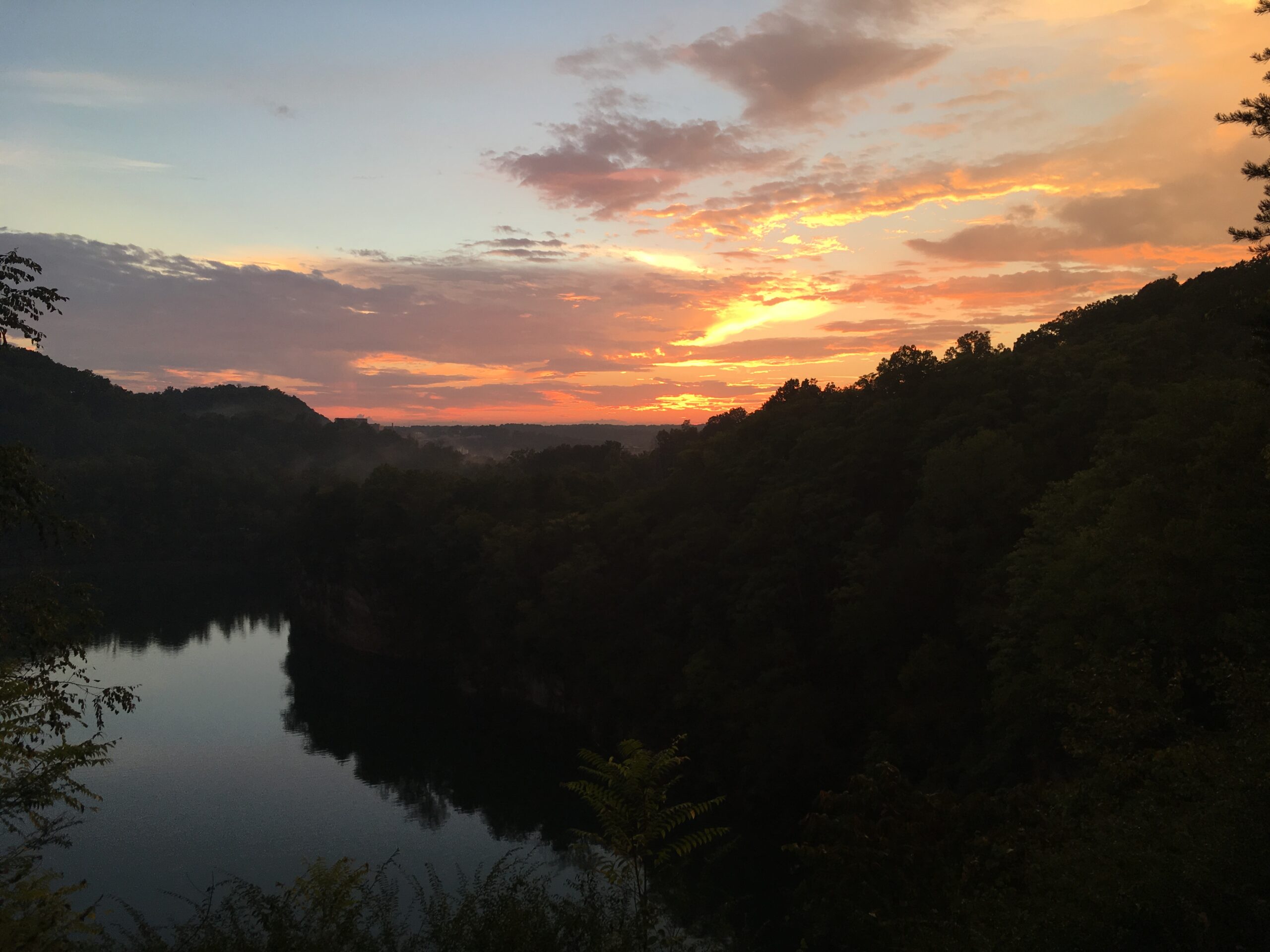
Sunrise from Fort Dickerson can equal the beauty of the site’s sunsets. (File photo by Betsy Pickle)

