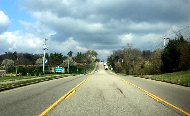
Imagine Watt Road as an inviting, walkable area with small business, retail and office space. Traffic is slowed down by narrow lanes and landscaped islands, making it a comfortable place for pedestrians to move about. Sounds lovely, doesn’t it? But could it become reality?
Farragut Community Development Director Mark Shipley thinks so. It’s not his dream; it’s the collective vision of neighbors and other interested residents. He hosted a community meeting with visual preference surveys in March as well as a workshop before the September planning commission meeting. Shipley was pleased with the level of response.
“They told us what they wanted to see. Now we’re trying to make it happen incrementally. We may go through the same process with other corridors in town. It could result in a better-built environment in 20 years.”
Bringing the vision to life starts with changing the Town’s Future Land Use Map. The map is a guide for future land development in Farragut; leaders use it to make decisions about zoning changes. If a proposed rezoning goes against the land use map, it is deemed inconsistent with the community’s goals for an area.
Shipley presented proposed updates to the land use map at last week’s Municipal Planning Commission meeting. Proposed changes include upping the amount of space planned for mixed use neighborhood (small retail, coffee shops, etc.) and decreasing the space planned for medium density residential (apartments). The goal of these changes is to encourage small-scale commercial development that’s compatible with the surrounding residential area and discourage development of large apartment projects.
The planning commission approved the changes.
This re-imagining of Watt Road is the result of the work of the Comprehensive Land Use Plan Steering Committee. That’s a big name for a small group (approximately seven members). The objective of the committee was to look at different parts of Farragut to see where development could be guided proactively. They chose to focus on the Watt Road corridor because it’s a gateway to the Town and is largely undeveloped. It’s also home to the 50-acre Mayor Bob Leonard Park.
The Outlet Drive corridor and the area around the Kingston Pike/Campbell Station Road intersection are other priority areas that could benefit from a similar visioning process, Shipley says.
The CLUP Steering Committee has already made recommendations that have resulted in changes to the Town’s zoning ordinance. The updates will limit unappealing development, like prohibiting mini warehouses in the Regional Commercial District and getting rid of the Commercial Storage District altogether.
Desirable development doesn’t happen on its own. It takes visioning, planning and a firm determination to stick to the path. Changes to the Watt Road corridor on the Future Land Use Map are a solid first step in promoting the kind of development Farragut residents want to see.
Wendy Smith is coordinator of public relations and marketing for the Town of Farragut.